


Tritop
TRITOP is the ZEISS system for photogrammetric measurement of three-dimensional coordinates, designed to inspect large components directly in their working environment.
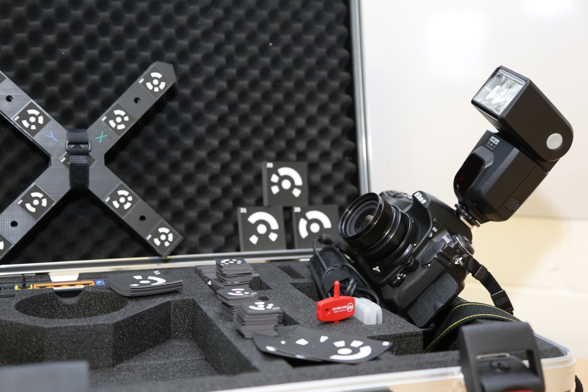
3D Photogrammetry for Measuring Large Structures and Components
TRITOP is a photogrammetric measurement system designed to capture three-dimensional coordinates directly on the component, without having to transport it to a laboratory. When a component is too large, heavy, or complex to move, the measurement system comes to it.
The metrology camera captures high-resolution images of the component from various angles. The software processes the images and determines the three-dimensional coordinates of the measurement points, creating a database that can be used for subsequent metrological analysis and evaluation.
TRITOP is particularly well-suited for measuring large structures and components, even directly on the production floor or in complex environments. The data obtained can be used for dimensional inspections, displacement and deformation analysis, and verification of component position and geometry.
The ability to take measurements directly on site makes TRITOP a suitable solution even for components that are difficult to handle or to which traditional measuring instruments cannot be easily applied.
Measurement of Large Structures Acquisitionof three-dimensional coordinates of large components and structures that cannot be easily moved.
Deformation Monitoring Analysis ofa structure's displacements and deformations through the measurement of three-dimensional coordinates.
Production InspectionDimensional inspectionsperformed directly on the production floor, without having to transfer the component to the lab.
Measuring Hard-to-Reach Components
Capturingcomplex or hard-to-reach areas using traditional measuring tools.
Marine Applications Inspectionof hulls, structures, and large components directly in their operating environment.
Aerospace and Large Assemblies
Verificationof the position and geometry of complex, large components and structures
Related Systems

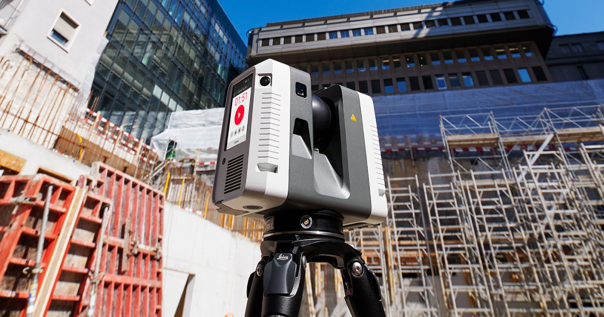
Leica RTC360
High-Speed 3D Laser Scanning for Surveying and Digitization
The Leica RTC360 allows you to transform a real-world space or object into a three-dimensional digital representation. The system captures a large number of points in space and outputs them as a 3D point cloud, creating a detailed digital foundation for subsequent analysis, design, and documentation.
The Leica RTC360 can capture up to 2 million points per second. This speed reduces the time spent in the field and allows for the rapid collection of large amounts of data.
The system’s portability allows for field surveys to be conducted directly on-site, even when multiple scanning stations need to be set up. The collected data can be used as a basis for 3D surveying, as-built documentation, design, reverse engineering, and analysis of existing geometry.
The Leica RTC360 is used for digitizing industrial environments, plants, structures, and complex components, where the rapid and comprehensive collection of 3D data is a crucial step for subsequent design and inspection activities.

